The day after dropping off the camper we picked up our new wheels from the airport. We had booked the cheapest car available and were surprised to find a brand new car with just 29km on the clock - no pressure on keeping it in pristine condition then! It was very comfortable and would serve us well for the rest of our time in New Zealand. Our first stop was the town of Oamaru where we stayed in our first hostel for a month. Shared kitchen, bathrooms and bunkbeds were back! The town has a quirky steampunk museum, a street of old warehouses converted into independent shops (including a great adventure bookshop with a replica of Shackleton's boat the James Caird!), but the highlight of the town is the Little Blue Penguin colony. At sunset we sat on the edge of the shore and watched as 143 penguins came ashore after a days fishing and returned to their nests.

Heading further south we visited the Moeraki Boulders, which are an unusual series of perfectly hemispherical rocks strewn across the beach. For those Star Wars fans out there, one looked just like the Death Star had crashed into the sand. Later that day we arrived in the university town of Dunedin and spent the evening at rugby game. The local team, The Highlanders, were playing The Crusaders from nearby Christchurch. It was the closest thing to a local derby and it made for a great atmosphere. A large portion of the settlers that founded the modern town of Dunedin were from Scotland, hence the team name, and they are proud of their heritage. The team were led out onto the pitch by a full pipe band in tartan. Despite leading 27-6 the Highlanders managed to concede 3 tries in the last 15minutes and lose the match in the dying moments of the game. An exciting game to watch even for non-rugby fans! Whilst in the town we visited the very interesting Otago Settlers Museum charting the history of the town and providing an insight into the reasons that people gave up their lives in the UK and set off to the other side of the world. The museum included a fascinating exhibit on the 'Dunedin Study', a 40 year longitudinal study into health and development, following the same 1000 children from birth in the early 1970's to present.


Before leaving home last August we had booked huts on one of the most popular Great Walks in New Zealand. The Milford Track, the most popular, had already sold out 8 months in advance, so we had booked the circular Kepler Track instead. This is a 63km route from Te Anau and includes a sample of most of the terrain to be found in Fiordland. The first day starts with a flat walk along the edge of Lake Te Anau before heading steeply uphill through the bush at Brod Bay. It was hard work in the heat with a heavy pack, but we were treated to amazing views across the lake once we'd cleared the tree line and reached the first hut. The following morning we awoke to find ourselves above the cloud that had settled over the lake during the night. Most of the walk that day was along the ridge line, including a small detour to the top of Mount Luxmore, again with incredible views all day.


Little Blue Penguins
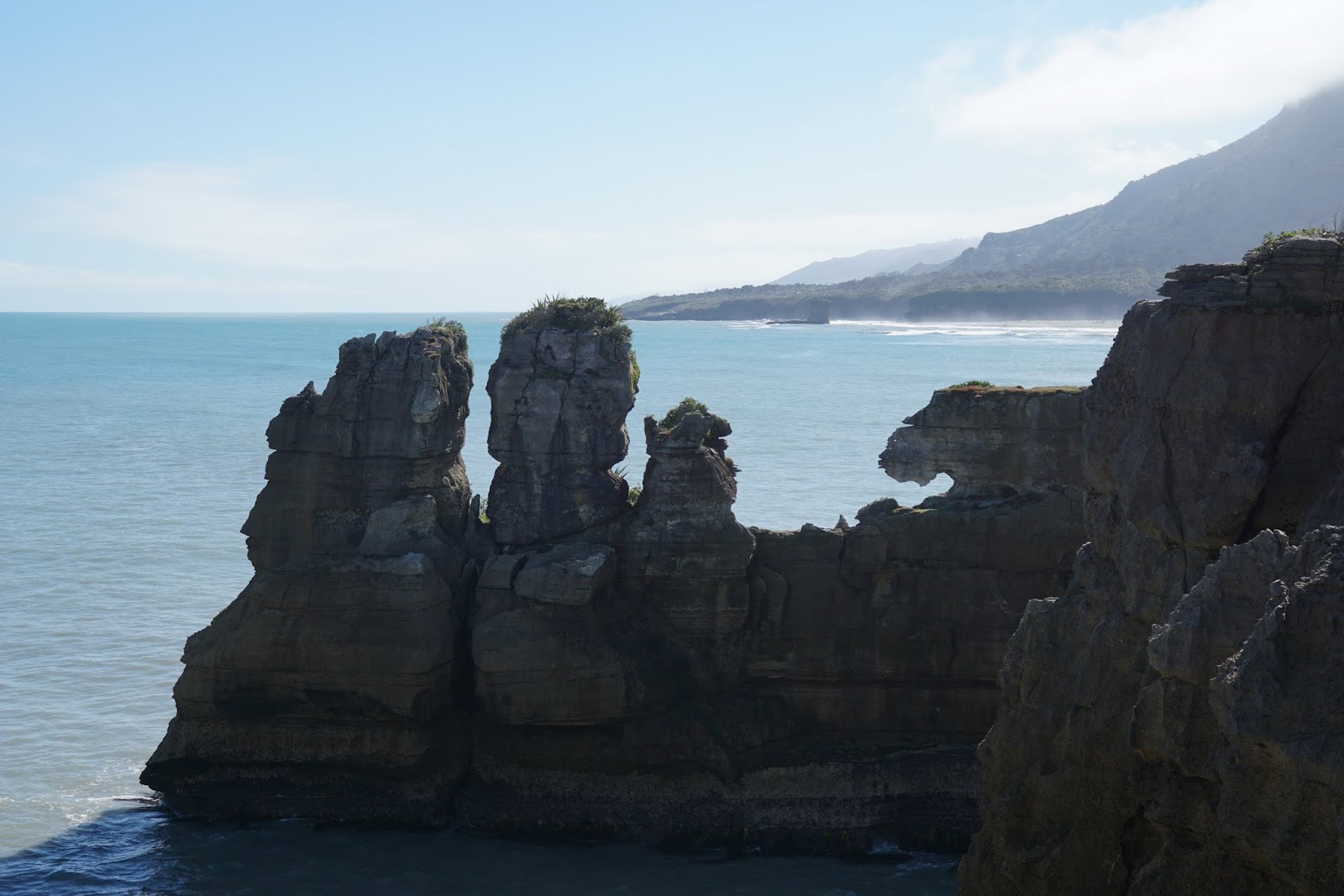
Heading further south we visited the Moeraki Boulders, which are an unusual series of perfectly hemispherical rocks strewn across the beach. For those Star Wars fans out there, one looked just like the Death Star had crashed into the sand. Later that day we arrived in the university town of Dunedin and spent the evening at rugby game. The local team, The Highlanders, were playing The Crusaders from nearby Christchurch. It was the closest thing to a local derby and it made for a great atmosphere. A large portion of the settlers that founded the modern town of Dunedin were from Scotland, hence the team name, and they are proud of their heritage. The team were led out onto the pitch by a full pipe band in tartan. Despite leading 27-6 the Highlanders managed to concede 3 tries in the last 15minutes and lose the match in the dying moments of the game. An exciting game to watch even for non-rugby fans! Whilst in the town we visited the very interesting Otago Settlers Museum charting the history of the town and providing an insight into the reasons that people gave up their lives in the UK and set off to the other side of the world. The museum included a fascinating exhibit on the 'Dunedin Study', a 40 year longitudinal study into health and development, following the same 1000 children from birth in the early 1970's to present.

The Moeraki Boulders

Highlanders vs Crusaders
Before leaving home last August we had booked huts on one of the most popular Great Walks in New Zealand. The Milford Track, the most popular, had already sold out 8 months in advance, so we had booked the circular Kepler Track instead. This is a 63km route from Te Anau and includes a sample of most of the terrain to be found in Fiordland. The first day starts with a flat walk along the edge of Lake Te Anau before heading steeply uphill through the bush at Brod Bay. It was hard work in the heat with a heavy pack, but we were treated to amazing views across the lake once we'd cleared the tree line and reached the first hut. The following morning we awoke to find ourselves above the cloud that had settled over the lake during the night. Most of the walk that day was along the ridge line, including a small detour to the top of Mount Luxmore, again with incredible views all day.

Not a bad view to wake up to

Along the ridge from Luxmore towards Iris Burn
The final hour was a steep rocky descent through the bush to the second hut at Iris Burn. Here we were advised to hang our boots up from pegs rather than leaving them outside for the night as the local cheeky Kea (mountain parrots) had a habit of stealing boots and pecking holes in them. The third day was an easy 4hr walk through the beech forest to the edge of Lake Manapouri at the Motorau Hut. Here we were treated to an incredible sunset and had fun talking to the other hikers. The final day was a 16km walk along the flat through the beech forests back to where we started. We finished about lunch time and headed back into Te Anau for another tasty pie from the same shop as on our last visit a month before.

Kea

Sunset over Lake Manapouri
We finished the trek just in time, as we woke up the next morning and the beautiful sunshine had given way to greyness and showers. We packed up all of our stuff and headed off along the 'Southern Scenic Route'. We stopped at several coves and beaches along the way (although never for too long given the weather) until we reached the town of Invercargill. The visitors centre gave us more than just useful local information as they had some resident Tuatauras which we visited. These pre-historic creatures look very lizard like but are actually closer relatives of dinosaurs. They live to over 100 years old! We only stayed one night here - giving us enough time to see the town's ornate water tower and the nearby small town of Bluff - before continuing east along the coast.
We spent the next few days exploring the Catlins, the south east corner of the South Island, known for it's rugged natural beauty and wildlife. It is a little bit off the main tourist route meaning that it's a bit quieter, and there are far fewer paved roads (turning our lovely blue car a rather dusty sandy colour). Staying on a farm during sheep shearing season meant we were woken up at 7am by loud music when a car full of local young people showed up to work their way through the fields of sheep. The highlights of these few days were visiting the most southerly point of mainland New Zealand (closer to the south pole than the equator) and seeing a pod of dolphins playing in the shallows of the shore at Porpoise bay.

Nugget Point Lighthouse in the Catlins
Leaving the Catlins we spent a night in Milton - there's nothing really to see in the town, but it was a convenient stop over. The owner of the hostel was an eccentric guy whose first question on our arrival was what our Chinese zodiac sign was and he spent part of the evening trying to teach us to juggle. We then crossed Otago and spent a couple of days staying in Alexandra from where we cycled a section of the Otago Central Rail Trail. This cuts through some stunning scenery and partly due to the old railway equipment had the feel of the Wild West gold rush areas. As a disused railway there aren't any steep hills, but in order to cross the one big hill it does go uphill continuously for 20km. This made for a very easy and speedy return to town after lunch at the half way point.

At the start of the Otago Central Rail Trail
Our friend Jake had flown out to New Zealand for a 3 week holiday and we met up with him for a few days in and around Queenstown. Our first day clashed with a huge Harley Davidson rally in the town. Whilst it was fun to wander along the rows of parked bikes it did mean accommodation in the town was hard to come by and we stayed in nearby Arrowtown again for one night. We did a hike up the imaginatively named 'Big Hill' overlooking Arrowtown, which involved crossing a stream several times by taking off our boots and wading through. Jake took this opportunity to go for a 'swim' in the freezing cold water that turned into a 5 second dip before trying to warm himself up again. In Queenstown itself we took the gondola cable car to the top of the mountain above the town and spent an afternoon on the luge. This involves riding a sledge crossed with a go-kart down a paved race track down a short section of the mountain as fast as possible. Fiona decided not to get involved with the closely fought duels between Ben and Jake. We also queued for an hour to try the famous Fergburger. It is a very tasty burger and maybe ten years ago when launched it was pretty special, but when gourmet burger joints are now commonplace it doesn't have the same wow-factor we expected. We left Jake to explore Fiordland on his own (we'd meet up with him again on the North Island) and made our way once again through Haast Pass and up the west coast.

Mmmm... burger
We drove the 800km from Queenstown to Blenheim in two long days driving. Having already driven up the west coast once we were keen just to get the driving done and begin exploring the last part of the South Island. We stayed a few days in Blenheim in the Malborough wine region enjoying some of the best wines New Zealand has to offer and visiting the brilliant Omaka Heritage Aviation Centre. This contains a large collection of WWI and WWII fighter planes displayed in exciting dioramas created by Weta Workshops (more on them when we get to Wellington). A significant number of the planes belong to director Peter Jackson of Lord Of The Rings fame. The museum included a fascinating exhibit on the war in Russia in WWII, something which is often only briefly mentioned in a British history education.

German WWI fighter plane
Finally we headed to Picton to catch our ferry through the Queen Charlotte Sounds and across the Cook Strait to the North Island.

Ferry through the Queen Charlotte Sounds